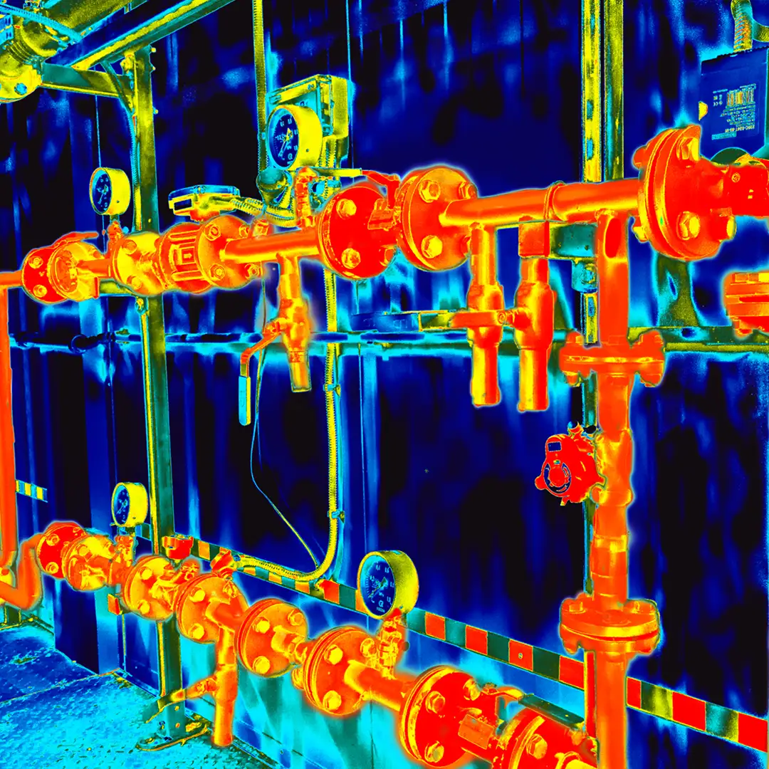
3D Laser Scanning (LIDAR) of Plant
3D Laser Scanning (LIDAR) is a process that acquires millions of points spaced closely together on the surface of an object to represent the object in 3D. The point data acquired by a Laser Scanner is stored in large files, and this type of data is called Point Cloud. There are many different types of scanners, and in order to get the best results, it is vital to use the correct scanner for the required specification.
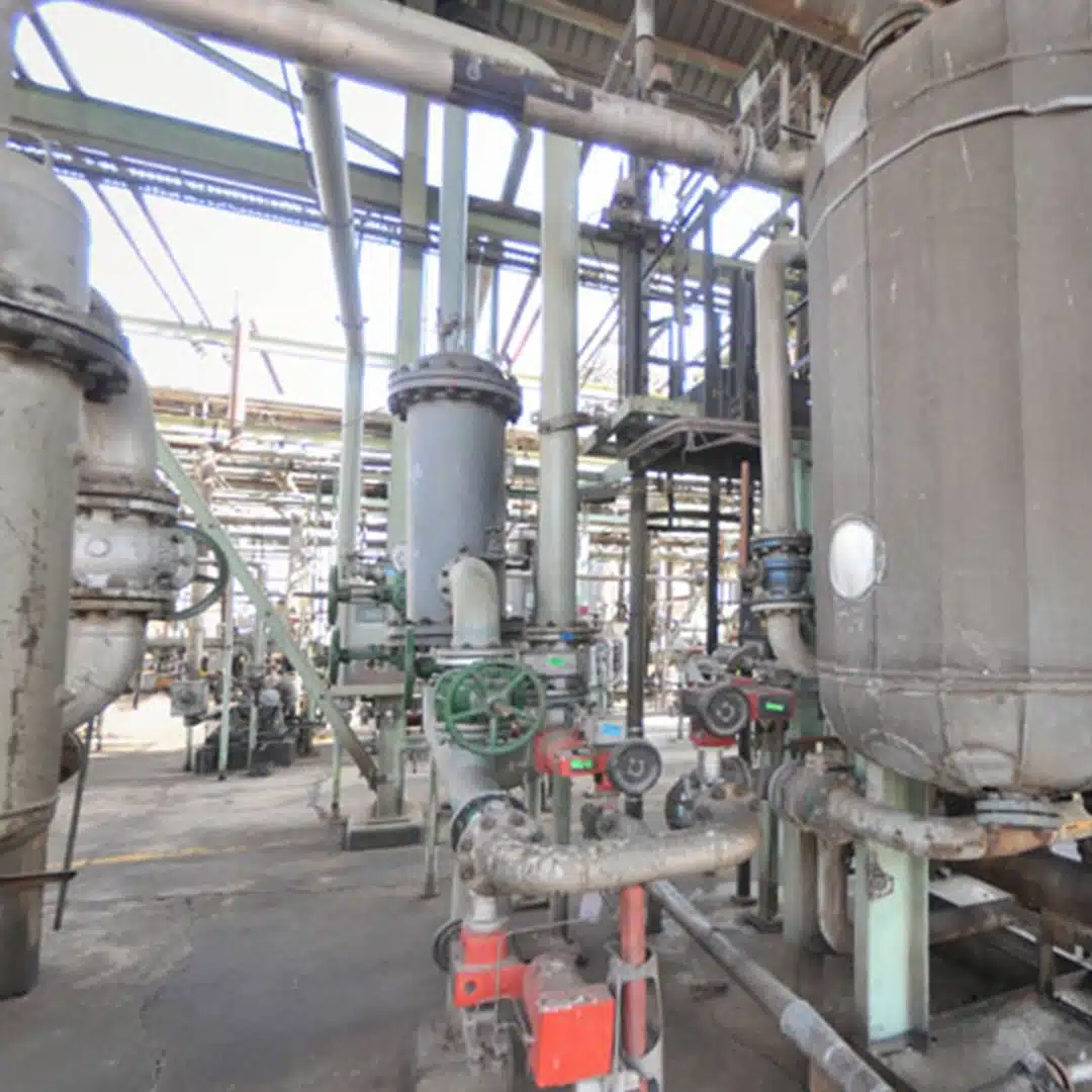
When scanning on Plant or active Industrial Environments, it is important to do sufficient planning in advance to make sure the fieldwork is executed efficiently and safely in the shortest amount of time. Depending on the precision requirements of the deliverable, it is advisable to deploy a survey team to control the Laser Scanning work with a Precise Engineering Survey. This way it is possible to accurately register scans together with an independent check and produce quality control reports to certify the exact accuracy that was achieved in the field.
Once the fieldwork is complete, the scans can be used individually or registered together as a single large Point Cloud. Point Cloud can be used in its raw form to answer many questions regarding a specific piece of plant or equipment.
It can also be imported into a CAD environment to take measurements and inspect basic geometry. Most scanner manufacturers include free software, enabling anyone to view scans in a standard browser, like Internet Explorer, without the need to install expensive dedicated software. Common functionality includes viewing the Point Cloud, taking measurements, extracting coordinates, marking up annotations, etc. All these measurements and mark-ups can be exported as reports, text, and/or XML, depending on the free software.
Point Cloud can be further processed in countless ways, but the more advanced capabilities require specialised software and workflows. It is not always practical to implement all these tools if they won’t be used often, and thus there is a need to represent the As-Built survey of the Plant in a more accessible format like Plot Plans, Equipment Arrangements, 3D Modelling, Isometrics, Fabrication Drawings, etc.