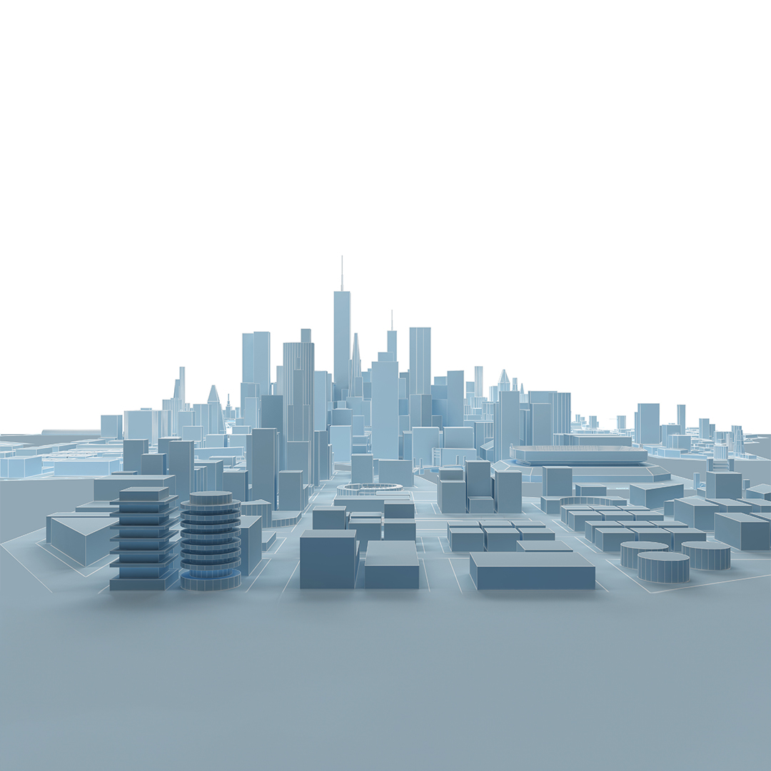
Engineering Surveys
Typical services include Topographic Surveys of roads and structures, Stake-out and Positioning Services, and Monitoring and Deformation Reports for existing structures. We also enjoy working on Projects of a Mechanical Nature, including the Alignment of Crane Rails and Gantry Systems and 3D Modelling of Complex Structural Steel Assemblies for Maintenance and/or Extensions.
With a steadfast commitment to precision and excellence, we offer monitoring services for your existing structures, including deformation reports that deliver crucial insights, enabling you to make informed decisions regarding maintenance and safety. We understand that our clients have unique needs, so we work closely with them to develop customized solutions that meet their specific requirements.
Embracing mechanical challenges is our forte, from aligning crane rails and gantry systems to creating intricate 3D models of complex structural steel assemblies for maintenance and extensions. At CGS, your success is our top priority, and we’re here to help you elevate your engineering projects to new heights.
Construction and Road Surveys
Precise Engineering
Digital
Terrain Models
Deformation Analysis
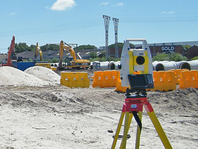
Construction and Road Surveys
Our services include Road Surveys, both before and during construction, conforming to the TMH11 Standard. Typical requests involve Topographical Surveys, Road Intersection Surveys, Position and Heights of Services, etc. We also have analysis tools to extract Cross-Sections along specified intervals, showing the Rise and Fall Profile along the Road Centre Line, analyzing the Horizontal Curvature of the Bends, etc. During construction, it is vital to have a surveyor on site to Stake Out Road Alignment and Positions of Services. It is also good practice to commission an As-Built Survey once the Construction is Complete to ensure everything is in the right place. We also offer specialized services for road construction, such as pavement thickness measurements, slope stability analysis, and drainage design.
Precise Engineering Surveys
Precise engineering surveys are required in a wide range of applications, such as the position and alignment of nozzles on a pressure vessel, the position of bolt holes on existing structural steel, or the survey of an existing rail system. These surveys require high-precision equipment and specialized workflows to achieve the tight tolerances required. We use the latest technologies and equipment to ensure that our surveys are accurate and reliable. At CGS, we enjoy the challenges of precise engineering surveys. We have a team of experienced and qualified surveyors who are passionate about their work. We understand that our clients have unique needs, so we work closely with them to develop customized solutions that meet their specific requirements. We are also committed to completing our projects on time and within budget.
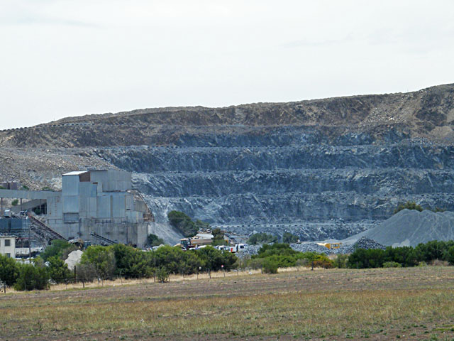
Contours and Terrain Models
We regularly survey ground surfaces, both natural and man-made, and we offer services from conventional surveys to laser scanning. While there are a multitude of different ways to represent the data, typical formats include topographic maps with contours, cross-sectional profiles, triangulated irregular networks (TIN), digital terrain models (DTM), point clouds (LIDAR), etc. We can run analysis tools from these models to calculate volumes of stockpiles, simulate the flow of water, and detect potential hazards, such as landslides and sinkholes. We offer various services, equipment, and techniques and always comply with safety regulations in hazardous areas like mines and construction sites.
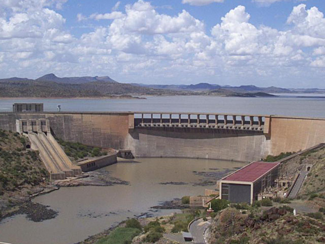
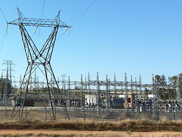
Monitoring and Deformation Analysis
We use Robotic Instruments with angular Accuracy of 1″ of Arc and provide solutions for the monitoring of any structure under stress. Typical examples include Tall Buildings, Electrical Towers and Communication Masts, Wind Turbines, Ground Level stability above excavations like Mines and Tunnels, Dam Walls, Piers and Harbour Walls, etc. We write custom software to process large volumes of data like Point Cloud from Laser Scanners (LIDAR) and produce comprehensive reports from Repeatable Control regarding deviations in surfaces of large objects, like Tanks that should be Cylindrical or Spherical, Floor Levels that should be absolutely Level, etc. to see Changes Over Time.
Contours and Terrain Models
We regularly survey ground surfaces, both natural and man-made, and we offer services from conventional surveys to laser scanning. While there are a multitude of different ways to represent the data, typical formats include topographic maps with contours, cross-sectional profiles, triangulated irregular networks (TIN), digital terrain models (DTM), point clouds (LIDAR), etc. We can run analysis tools from these models to calculate volumes of stockpiles, simulate the flow of water, and detect potential hazards, such as landslides and sinkholes. We offer various services, equipment, and techniques and always comply with safety regulations in hazardous areas like mines and construction sites.
Monitoring and Deformation Analysis
We use robotic instruments with an angular accuracy of 1″ of arc to monitor structures under stress, such as tall buildings, electrical towers, communication masts, wind turbines, and dams. We write custom software to process large volumes of data from laser scanners and other sensors to produce comprehensive reports on deviations in surfaces and changes over time. Our custom software is used to process large volumes of data like Point Cloud from Laser Scanners (LIDAR) and produce comprehensive reports from Repeatable Control regarding deviations in surfaces of large objects, like Tanks that should be Cylindrical or Spherical, Floor Levels that should be absolutely Level, etc. to see Changes Over Time.